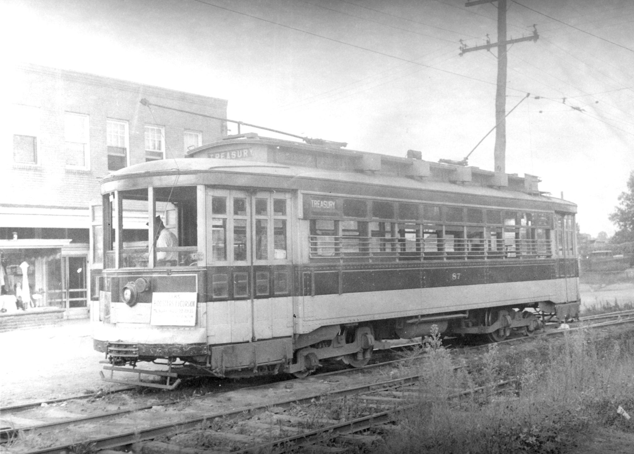
More than a century ago, some Maryland residents had an idea for a way to connect Baltimore and Washington through mass transit — and coming right through the Route 1 corridor to do it.
Residents of Maryland’s biggest city had long taken steam-powered trains to the nation’s capital, but that was more of a long-distance trip, something you would take only for an important meeting or an overnight visit.
But when Baltimore added electric streetcars in 1885 and Washington followed in 1888, some business leaders had the idea of connecting the two systems, as recounted by College Park geography student D.W. Rowlands.
In 1892, they chartered the Columbia and Maryland Railway with the goal of building an electric streetcar line from the Treasury Building in D.C. through Hyattsville to Laurel and Ellicott City and on to Baltimore. The idea was to build smaller cities along the line, taking advantage of the local real-estate boom.
In the words of one historian, the businessmen:
had visions of a great “Country City” extending from Washington to Baltimore. This city was conceived to consist of three boroughs, each ten miles square, through which was to run a double-tracked electric railway line flanked on each, side by a wide roadway. To these men it seemed inevitable that the land between Baltimore and Washington would thus be entirely built up within twenty years at the most.
To that end, they began building a streetcar line along Rhode Island Avenue, with a turnaround in Mount Rainier (now a traffic circle), eventually ending in Laurel. There the streetcar line fell just short, with a 20-mile gap to the Baltimore streetcar line.
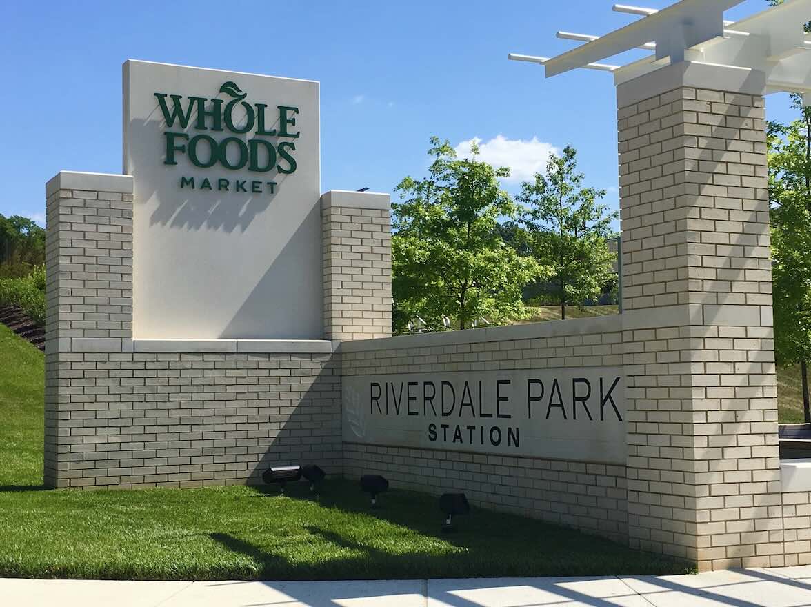
The plan worked to an extent, however. The streetcars helped develop the cities of Mount Rainier, Brentwood, North Brentwood, Hyatttsville, Riverdale Park and College Park in the first part of the 20th century.
And while streetcars didn’t end up connecting Baltimore and Washington, the heavy-rail MARC Camden Line follows much the same route today.


